Topographical Geodata
Topographical geodata - basis for your planning.
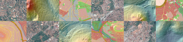
Geo-based grid and vector data form the basis for engineering plans. However, with regard to scale and precision, there are numerous options: Acquisition of satellite data, aerial image data, UAV data, terrestrial surveying and quality-checked stock data.
We have extensive experience worldwide in the use of digital geodata for analyses and engineering calculations: hypsometric curves, volume calculations, location searches, etc.
To provide you with a solution that is tailored to your specific requirements, we bundle our expertise in the areas of remote sensing, photogrammetry, cartography, surveying and GIS.
Services
We offer you our services in the following areas:
- Consulting and data procurement
- Reselling and support
- Data acquisition
- Photogrammetry and remote sensing
- SAR interferometry
- Terrestrial surveying
- Geodata analyses
- Cartography, GIS and 3D visualization
Your contact

Further information
Weida dam
Partial deconstruction of the technical monument (without dam operation)
Partial deconstruction of the main wall at the left valley flank to redirect the Weida river without obstructing it.
Learn more about the international IT-Consulting activities of the Fichtner-Group.